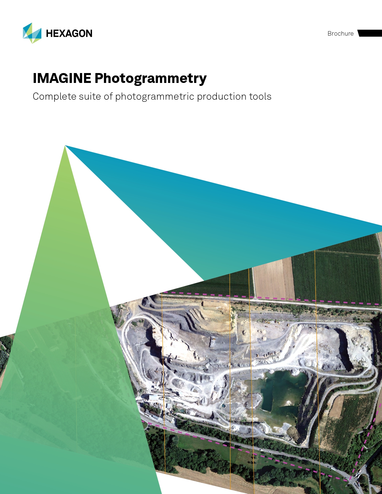
3D Mapping with ERDAS IMAGINE Photogrammetry
ERDAS IMAGINE Photogrammetry enables you to generate accurate 3D models, maps and geospatial outputs from aerial and drone imagery. It supports precise data extraction and high-quality mapping to power planning, analysis and decision-making.
Transform Raw Imagery into Reliable Data Layers
IMAGINE Photogrammetry is a seamlessly integrated collection of software tools that transforms raw imagery into accurate, usable data for digital mapping, raster processing, GIS analysis and 3D visualisation.
By combining photogrammetry, GIS, image processing and point cloud tools into one powerful platform, it enables efficient processing of complex datasets while maximising performance through multi-core and distributed workflows.
Designed for both new and advanced users, it includes advanced capabilities such as analytical triangulation, terrain modelling, orthophoto and orthomosaic production, and 3D feature extraction, all within a user-friendly environment.
Fully integrated with ERDAS IMAGINE and enhanced by IMAGINE Advantage, it supports projects involving aerial and satellite imagery, helping you move beyond standard outputs and deliver higher-value geospatial insights.
Powerful Photogrammetry Capabilities
From image alignment to final outputs, IMAGINE Photogrammetry provides the tools to process, analyse and deliver high-quality geospatial data at scale.
Accurate Triangulation
Tie imagery together and to ground reference points for additional data processing, such as DTM extraction, terrain editing, orthorectification, and feature collection.
Harness Point Cloud Data
Manipulate LiDAR data interactively while displayed in 2D, 3D and profile views.
Seamless Orthomosaics
Mosaic hundreds of images together into a single image view for more accurate and up-to-date information.
Dense 3D Point Clouds
Create an accurate dense point cloud with high-definition hard edges on rooftops and encode the point cloud output for an image-like quality dataset.
Save Processing Time
Distribute processing over multiple cores or workstations, effectively maximising available resources and production output.
Photogrammetry Products Brochure
A comprehensive overview of photogrammetry solutions, including key features, workflows and use cases across mapping and geospatial projects.
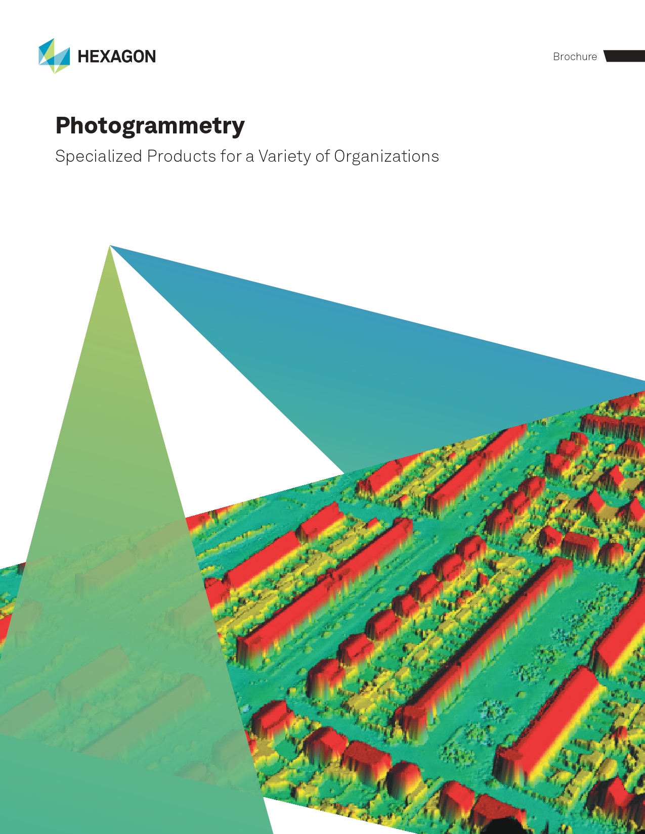
IMAGINE Photogrammetry Brochure
Discover how IMAGINE Photogrammetry supports accurate data extraction, 3D modelling and scalable geospatial processing for modern mapping workflows.