Bring Spatial Data Into The Field With FME Realize
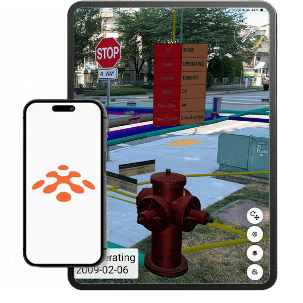
FME Realize transforms complex spatial data into immersive, real-world visual experiences. Using augmented reality, teams can visualise assets, infrastructure and digital twins directly within their physical environment, improving insight, communication and decision-making.
Visualise What Others Cannot See
FME Realize extends the FME Platform into augmented reality, enabling spatial data to be viewed in its real-world context. Whether you are managing utilities, infrastructure, environmental assets or urban planning projects, Realize allows you to overlay digital information directly onto physical environments.
Instead of interpreting maps in isolation, teams can walk through a site and visualise underground networks, proposed developments or sensor data in place. This reduces ambiguity, strengthens communication and improves operational confidence.
- Connect. Transform. Visualise.
FME integrates spatial and non-spatial data from hundreds of formats and systems. Realize connects to live, transformed datasets powered by FME workflows, ensuring what you see in the field reflects current system data.
- Built for Enterprise Workflows
FME Realize integrates with enterprise GIS, asset management and data platforms. It supports automation, reuse and deployment across departments, helping organisations deliver measurable operational outcomes.
Why FME Realize?
Available at no additional cost to FME Flow customers, Realize brings context-rich insight to infrastructure inspection, utilities, civil engineering and asset management. It improves productivity, accelerates decision-making and strengthens collaboration across field and office teams.
Dynamic Data Interactivity
Interact with digital twins and live enterprise data on site. Gain real-time visibility and make informed decisions with confidence.
Real-World Data Visualisation
Move beyond 2D screens and experience data in its physical world context for increased understanding and productivity.
Mobile AR Experience
Enterprise data at your fingertips. Easily access, visualise, and interact with enterprise data from the convenience of any iOS device.
On-Site Issue Resolution
Resolve issues where they happen, identify, report, and fix issues in real time using AI agents or any other FME workflow.
Seamless Workflow Integration
As a connected solution, your mobile workforce can sync and update your data directly from the field.
All Data, Any-AI Support
Create AR workflows with the no-code interface to deliver the full power of your data to the field. Included in the platform at no additional cost.
FME Realize In Action
From infrastructure planning to utilities management, FME Realize enables teams to visualise complex spatial data in real-world environments. Explore how augmented reality is transforming field operations and digital twin strategies.
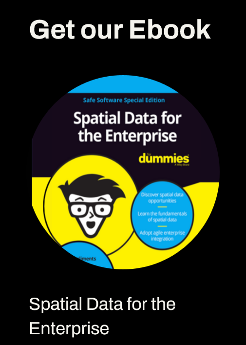
Using Spatial Data For the Enterprise
Spatial Data for the Enterprise for Dummies, Safe Software Special Edition, provides an accessible overview of how spatial data can drive better decision-making across organisations. Powered by the FME Platform, it explores how to harness spatial intelligence to support innovation, operational efficiency and digital transformation.