Octave Alto Data Management
Octave Alto Data Management (formerly ERDAS APOLLO) is a powerful geospatial data management platform that enables organisations to store, catalogue, manage and stream large volumes of imagery and spatial data from a single, centralised system. Designed for scalability and accessibility, it allows teams to securely share data across departments, applications and users, ensuring fast, reliable access to the information needed to support better decision-making and operational efficiency.
What is Octave Alto Data Management?
A Smarter Way to Manage and Deliver Geospatial Data
Octave Alto Data Management is a powerful platform designed to manage, organise and deliver large volumes of geospatial data across your organisation. It provides a centralised environment where users can securely access, share and distribute imagery and spatial data from a single source.
Built on a flexible, service-oriented architecture, Alto Data Management supports delivery to any client, on any device. Whether you are working with constantly updated datasets or supporting distributed teams, it ensures fast, reliable access to the data you need, when you need it.
Centralised Data Management
Organise and secure large volumes of geospatial and non-geospatial data within a single, searchable repository. Automate metadata collection, reduce duplication and streamline data management across your organisation.
Optimised Data Delivery
Deliver geospatial data faster and more efficiently with advanced compression (ECW), scalable protocols, even in low-bandwidth environments. Provide tailored data delivery, from raw file downloads to on-demand spatial analysis.
Enhanced Decision Making
Enable instant access to geospatial insights through on-demand spatial analysis and seamless integration with enterprise systems. Transform geospatial data into actionable insights, empowering your organisation to make faster, more informed decisions.
On-demand spatial Analysis
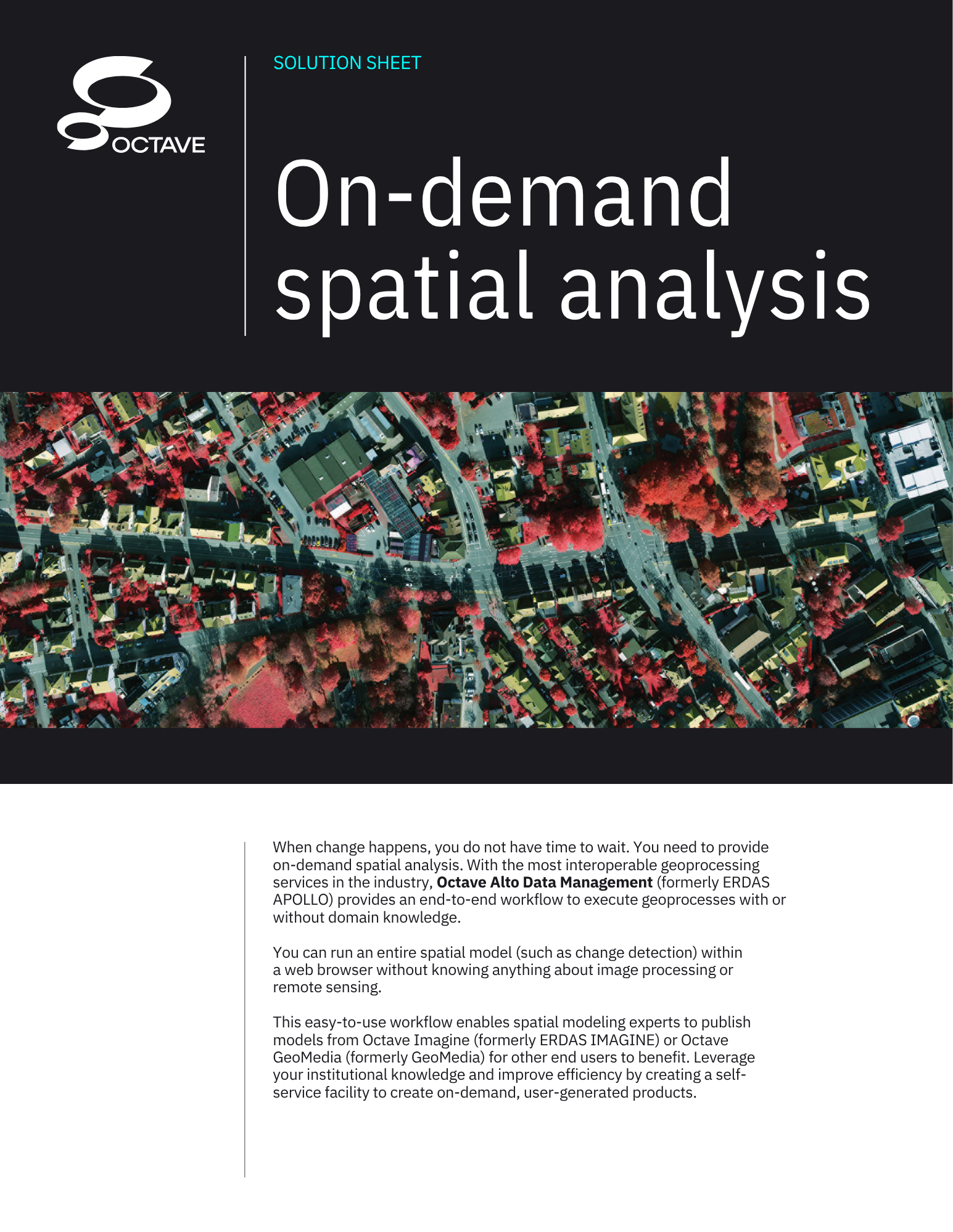
Octave Alto Data Management also delivers on-demand spatial analysis through highly interoperable geoprocessing services. Experts publish workflows, such as change detection, from Octave Imagine or Octave GeoMedia, letting other users run them in a browser with no remote sensing knowledge, creating a self-service facility for on-demand, user-generated products.
Octave Alto Data Management
Octave Alto Data Management (formerly ERDAS APOLLO) organises large volumes of geospatial data into a secured, searchable repository and distributes it across your organisation faster and with less hardware than competing solutions, while easing storage pressure through built-in compression and point cloud technology.